
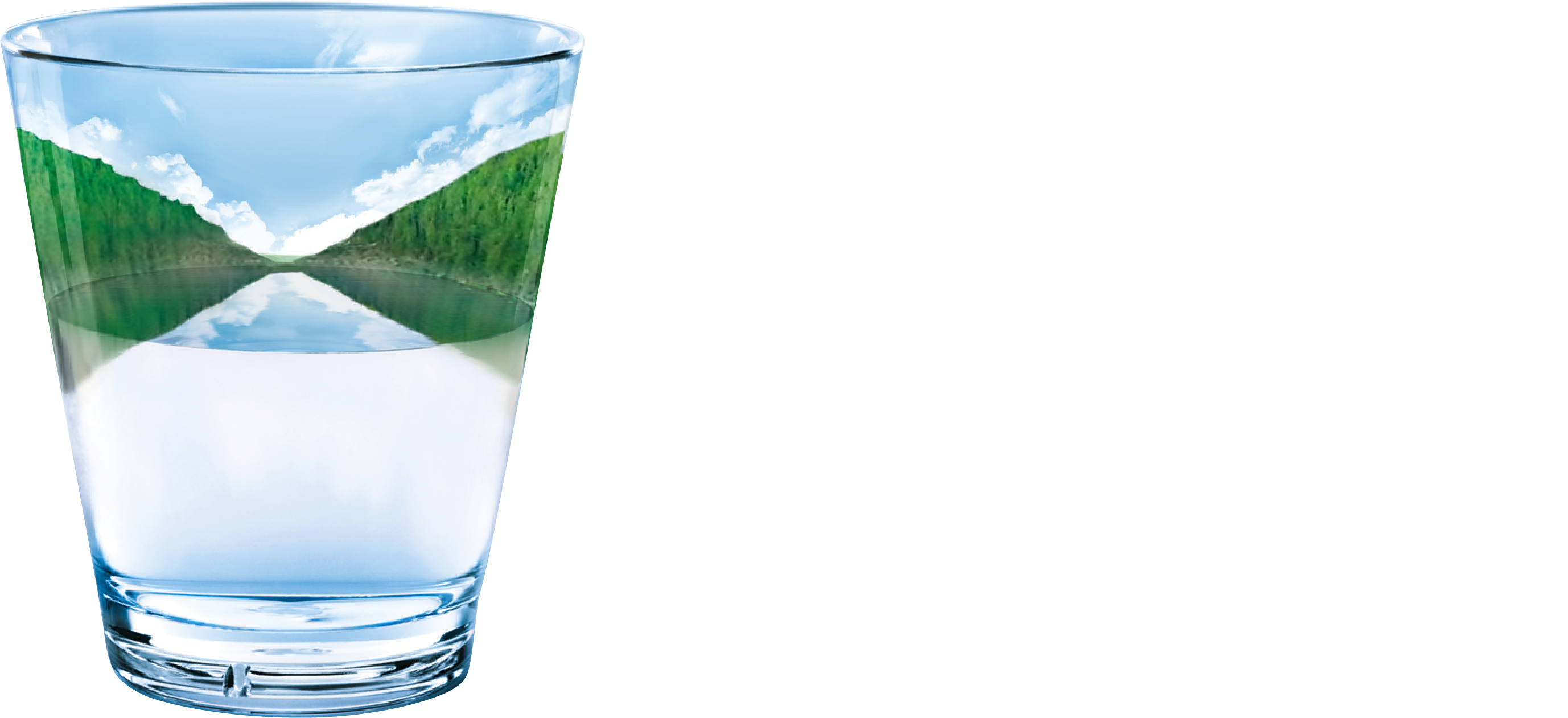
Survey video and photos of the asset.
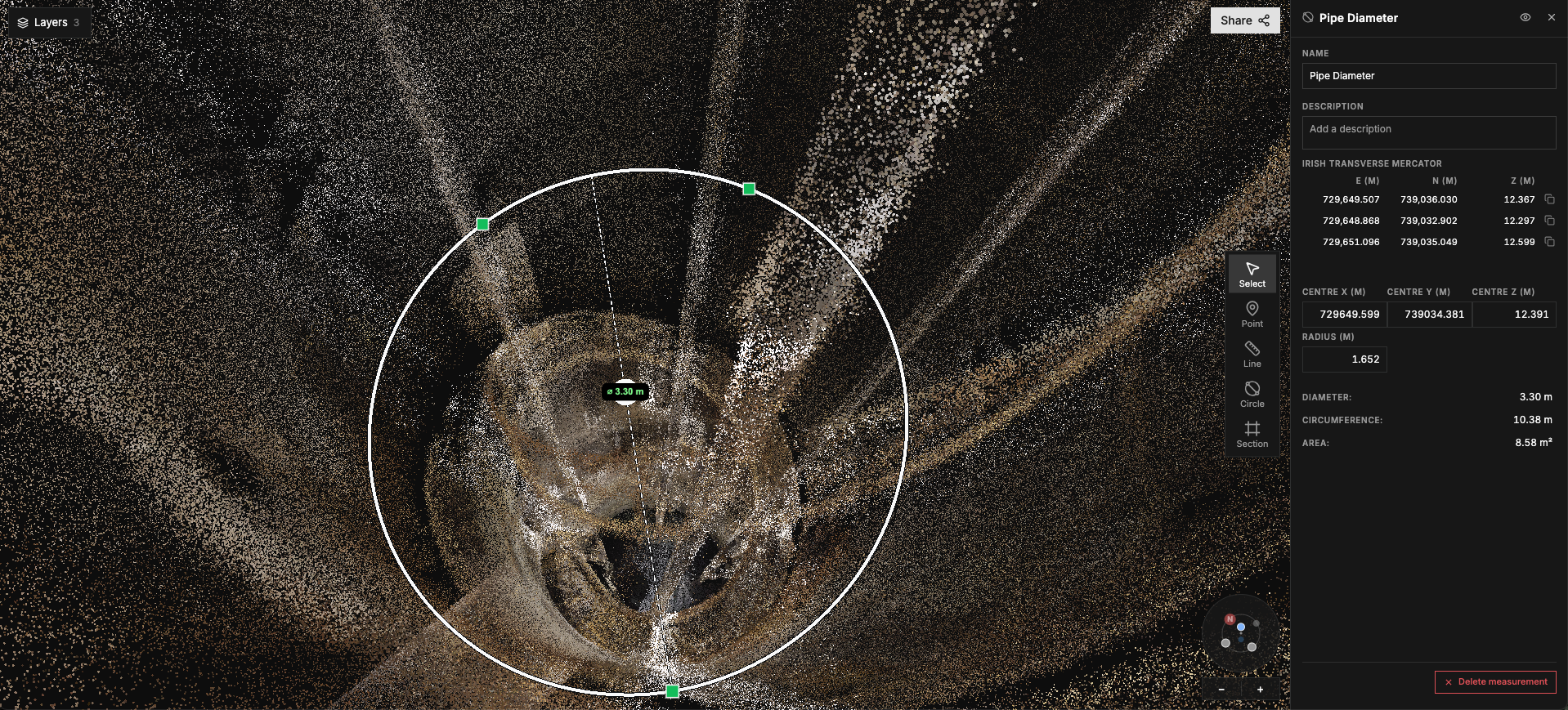
A full LiDAR model of the same asset, with the footage lined up with the flight path of the drone. Measure the size of the pipe, including any deformations instead of estimating it from video.
Same workflow. Better evidence for every decision.
Watch the footage, jump to a defect and measure it in 3D.
Open sample survey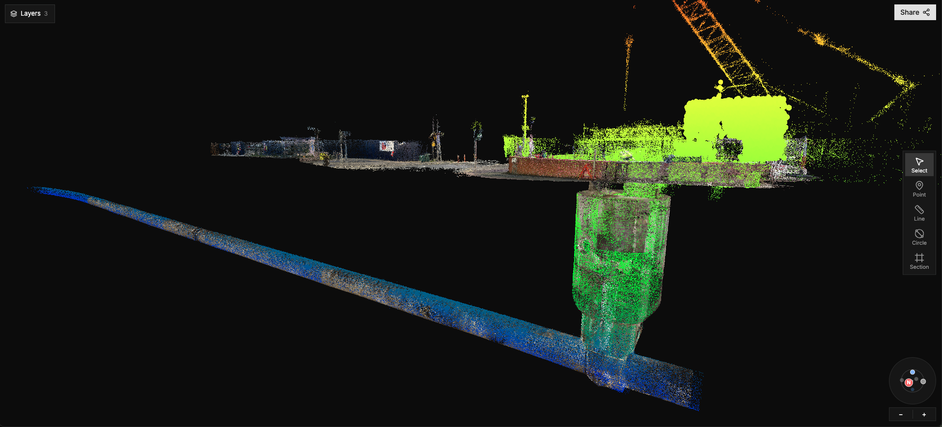
Surveys delivered for utilities and asset owners on both sides of the Irish Sea.
[One line on the partnership, approved by GFR]
[One line on the partnership, approved by ET]
Condition data on critical sewers without putting people in confined spaces.
“[Approved quote from Iain – fewer road closures]”
Iain Jones · Scottish WaterNo man-entry or standby crew for the survey; fewer return visits because dimensions come from the 3D model. [Add one measured saving]
“[Approved quote from Mark – lower overall operating cost]”
Mark Mitchell · NI WaterCondition data on assets that had none, and a baseline to compare against on the next survey.
Flying where GPS and radio don't reach, around bends and junctions, with live video and control maintained throughout the network.
Walking where crawlers can't drive and drones can't fly.
Grades recorded against the footage and the 3D model, in one place.
Pilot partners help shape what we build next.
Propose a one-asset pilotSend us the asset you can't get a team into.
We survey it and give your team the results in Halo.
The location, access details and what you need to know about the asset.
A drone or crawler goes in. No one enters the sewer. Results in [weeks – confirm].
Survey video, photos, the 3D model and report in Halo. Choose the next step from the results.